Featured Educator Project: Mapping a Walk to Social and Historical Connections
Featured Educator Series
This month's featured project by Leanne Todd and Jeanne Marie Iorio

Jeanne shared this microblog with us and we were intrigued!
How might mapping and walking with places where we spend the most time make visible the historical, political, and ethical stories of a place?
Recently, we walked with a group of 10- and 11-year-old children with the place where their school is located. The ritual of walking moved to finding what calls us into connection with this familiar place. These experiences provoked creating what they have come to call an “entangled” map –- a map telling their connections and making visible the Wadawurrung stories of this place. As an educator and researcher, we continue to think how understanding what it means to be entangled with the stories that are historical, ongoing and rooted within this place can inform teaching. How might mapping and walking continue to reveal the inscriptions of a place? How might teachers support children to think beyond the familiarity with a place towards ethical and political practices?

We asked Jeanne for more details so you could try out this project too!
Tell us more about your role as a lecturer and the school where you tried this project.
I am a senior lecturer in early childhood at The University of Melbourne and work as the Course Coordinator for the Master of Teaching (Early Childhood). My role as senior lecturer includes teaching and research. Specifically, my research focuses on rethinking early childhood practices and teaching towards practicing the child as capable and a citizen of the now. As learning and teaching are always done in relation, my collaboration is in relationship with teachers, children, and the local community. This means spending lots of time with schools and listening. Often my work is about listening, thinking, and building responses to teachers’ questions and ponderings.
St Therese Catholic Primary School is located on the coast of regional Victoria. The multi-age learning areas include Foundation (this is kindergarten in the United States), 1/2, 3/ 4, and 5/6. The curriculum is Reggio-inspired and the image of the child as capable informs teaching and learning practices. Children and teachers across the school have been participating for the last five years in the Out and About Project. Out and About is a research project led by me (Dr Jeanne Marie Iorio at The University of Melbourne) and Dr Catherine Hamm (La Trobe University) seeking to understand the teaching pedagogies used to support children in building deep relationships with the environment. These relationships are needed in order to address the current devastating state of our environment reflective of a lack of relationship between humans and the planet. For the children at St Therese, going Out and About includes visiting local places in the community every fortnight to spend time thinking with, listening with, and acting with beach, creek, trees, water, and the more-than-human (for example, plants, animals, insects, landforms). You can see the current work of the 3/4 classroom here where they have challenged the rest of the schools in Victoria to go Out and About to act on climate change. They have written a manifesto articulating their ideas on how to go out and about as well as created a logo and motto.
The concept of kids creating mapping their walks to make social and historical connections is very intriguing. What inspired you?
This project done in collaboration with one of the 5/6 teachers Leanne Todd. Leanne is a dynamic and complex thinker, always viewing children as capable and wanting to create conditions that support children to think critically and creatively. The project is inspired by the Out and About project. Since the children had been traveling Out and About, we wondered how they would begin to build a relationship with the place where their school is located. The question How does place provoke provoke invention and creation? as well as focus on geography begin how we constructed the mapping project.

What was the challenge or instructions you presented to the students?
We began by first exploring what geography is including alternative narratives of geography including counter-mapping and counter-cartography. Using maps including Aboriginal language maps and google maps, we began to question who decides what is made visible on a map. Using Martin’s (2015) concept of “coming alongside”, we engaged in several walking sessions finding what calls us into connection on the place where the school is located. We then challenged the children to create a map that made visible what called them into connection. The following was the “proposal” given to the children:
|
All planning projects begin first with a proposal. This proposal is often based on stakeholders’ (in this case, you and the place) perspectives. Based on our conversations and ideas shared by all of you, we present the following proposal for you to consider: Build a map making visible what calls each person into connection at our school place. The map should be:
The map will be:
The tools that can be used include:
|
Here is a description of the overall project as part of our pedagogical documentation:
How does place provoke creation and invention? A provocation for us to wonder with as we consider the study of geography.
Geography is part of our everyday lives. But how is geography connected to ethical and political perspectives? How does geography make visible the many stories of a place? How are place and geography related?
We listen to our theories and assumptions about geography, making visible what we know, what we are uncertain of, and what we do not know. Counter-mapping and counter-cartography challenge us to think further about what geography could be and how place contributes to how geography is practiced and understood.
Maps become a way for us to play with the concept of geography. We view maps of our school place and note how the oval is central to how our school place is defined on a map and wonder if this is what defines our place. Looking at the Victoria Aboriginal Language map, we notice how language and water define the places on the map. How might we create a map that makes visible what defines our school place?
Traveling in and about at our school and out and about at Fishermans Beach, we connect to the local places and consider what calls us into connection with/in these places. Do we connect the stories of these places? The memories? The more-than-human-- plants, animals, trees?
Proposals are presented to our group, how do we make visible our connections to the our school place? Theories and ideas are shared. Another challenge emerges -- We know our school is on Wadawurrung Country and this Aboriginal Worldview is always present in our school place. How do we make present the Wadawurrung histories, worldviews, and stories visible as part of our map?
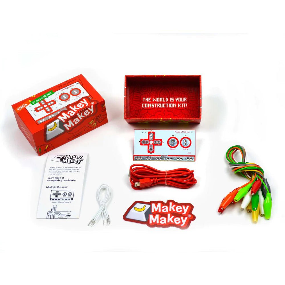
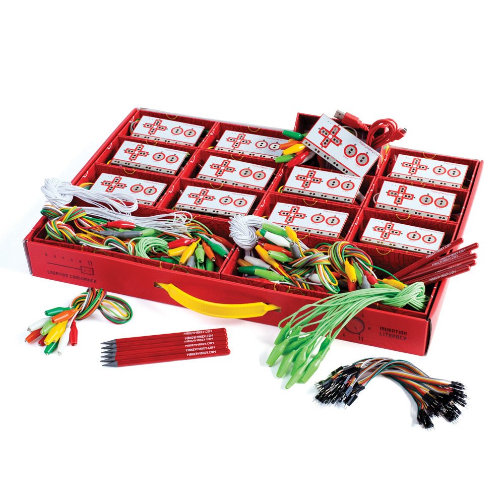
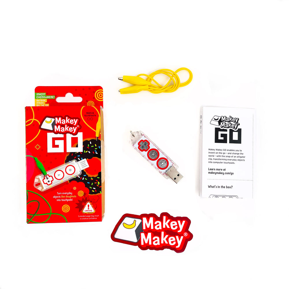
Materials are offered as an invitation to create and invent as part of map mapping. QR codes, Makey Makey, Scratch, clay, paint, paper, tape, measuring, scale -- all contribute and collaborate to create a 3-D map, rich with our connections to the school place entangled with Wadawurrung perspectives, stories, and understandings.

Can you share some of your favorites that the students made?
During the project, when we challenged the children to make visible the Wadwurrung stories of the place where the school is located, the children first decided to create a second map below the school map of their connections. We (Leanne and Jeanne) discussed this at length and wondered if this actually made the Wadwarrung stories less than how the children connected with place. We then challenged the children further and shared with the children how we understand that Wadawurrung stories are part of the present and how could this be reflected in the map. This is where Makey Makey became important as this was a way to make visible the Wadawarrung stories within the daily life of the place where the school is located.

In small groups, the children studied Wadawurrung stories, histories, and language. A strong example of this work was the focus on Welcome to Country. Corrina Eccles, a Wadawurrung educator had created a Welcome to Country. Welcome to Country can only be done by a Wadawurrung person so the children used Makey Makey to share Corrina’s video: Welcome to Country. This situated in a central place on the map recognizes how the school is located on Wadwarrung Country.
Another group focused on the Wadawurrung story of The Three Sisters. When creating their section of the map, an Aboriginal Sculpture located with the school place, the students sculpted the figures of the story. Through the use of Makey Makey and Scratch, they created a game based on the story.
What other things would you like to share about your project?
Time was a critical element to this project and at times, when time was rushed or not an allowance, there were moments of deep and critical thinking lost. What worked is when large blocks of time supported children in thinking with makey makey, materials, and the ideas but also when we as the teacher and research were given time to think through the thoughts and proposals the children offered. Spending our own time studying, reading, and discussing the possibilities challenged us to create conditions that practiced the image of the child as capable in creation and invention but also helped us to understand what worked and furthered complex thinking. When time was rushed or shorter, this impacted the level of thinking and engagement with the makey makey, materials, and making visible place, Aboriginal Worldviews, and the children’s connections with place.

This project meets the following standards in the Victorian Curriculum:
- Factors that influence people’s awareness and opinions of place (VCGGK097)
- Environmental and human influences on the location and characteristics of place and the management of spaces within them (VCGGK096)
- Australia’s connection with other countries and how these change people and places (VCHHK097)
- Describe and explain the interconnections within places and between places and the effects of these interconnections (VCGG087)
- Influence of people, including the influence of Aboriginal and Torres Strait Islander peoples, on the environmental characteristics of Australian places (VCGGK094)
- Represent the location of places and other types of geographical data and information in different forms including diagrams, field sketches and large-scale and small-scale pas that conform to cartographic conventions of border, scale, legend, title, north point and source; using digital and spatial technologies as appropriate (VCGGC089)


